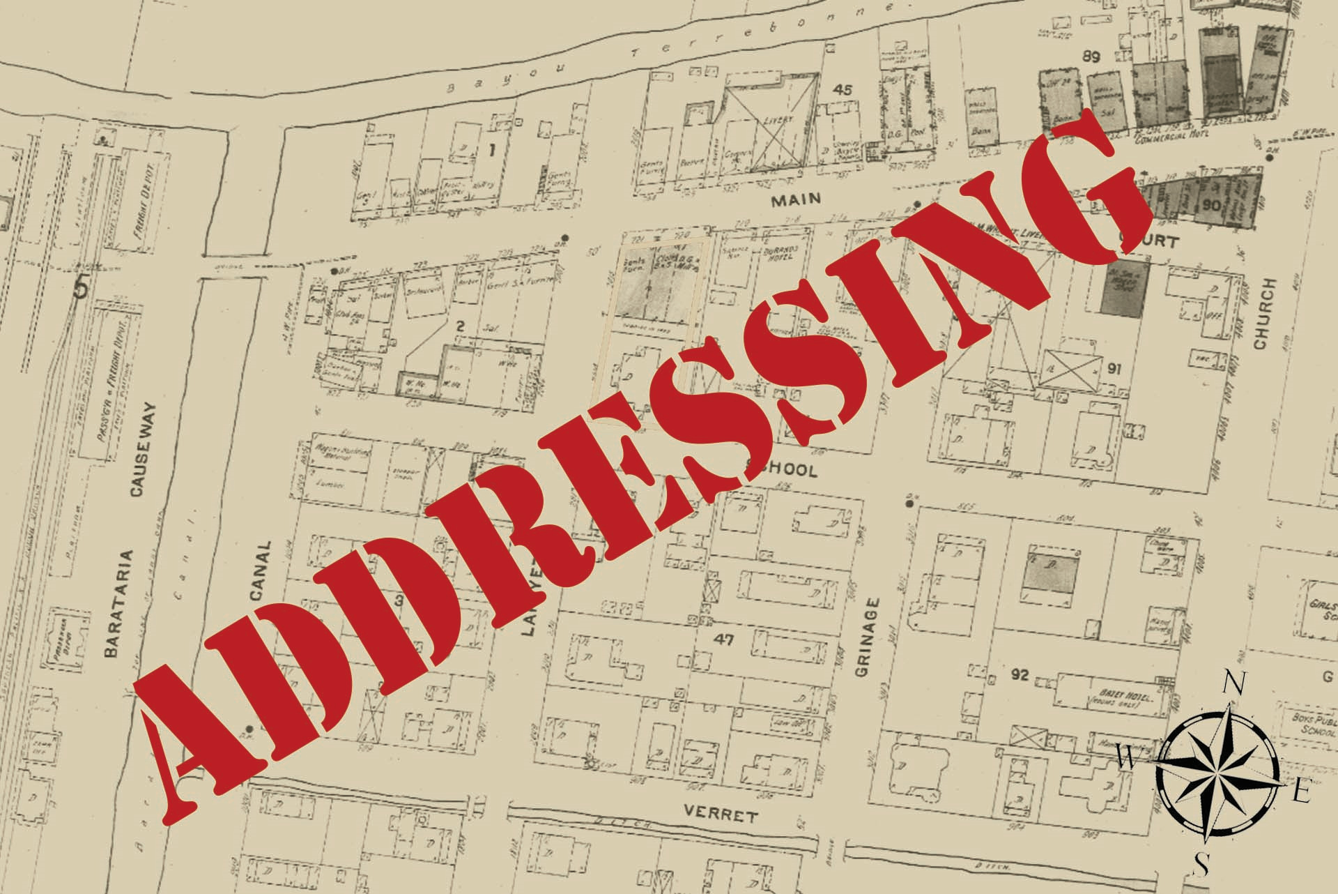
The Parish of Terrebonne has one of the most comprehensive base map, available to the public in the State of Louisiana. Originally created by the late Gene Bonvillain, Terrebonne Parish Tax Assessor, what is now referred to as the Terrebonne Parish GIS Map. Mr. Bonvillain first created the Parish’s GIS map to designate parcels for identification and addressing purposes. The Terrebonne Parish Consolidated Government began utilizing the GIS map for utilities, water, roads & bridges, planning, water hydrants and a host of other details including flood plain mapping and management. The maps encompass both aerial and linear views.
As pursuant to RS 33:9101 et seq, each of the 64 Louisiana Parish Communications Districts are responsible for the most up-to-date master street address guide (MSAG). In Terrebonne Parish this is the responsibility of the Terrebonne Parish Communications District (aka Terrebonne Parish 911).
The following rules apply:
- All Street Names (both Public and Private Streets) must be approved by the Terrebonne Parish 911 to eliminate name duplications and or confusing names.
- All Structural Numbers must be approved by the Terrebonne Parish 911 and be incorporated in the Emergency 911 system as valid address points and will appear on the Terrebonne Parish GIS Base Map.
- Address Points are different from Parcels. Parcels depict ownership of property, whereas, there may appear numerous address points on one property (within one particular parcel).
When applying for Permits from the Terrebonne Parish Permit Department each request will be guided to Terrebonne Parish 911 for address validation or for a new address to be assigned. This process is handled online by completing an Address Request Form and making a request via email to address911@tpe911.com and coordinating your information with one of our addressing professionals. A letter of address confirmation or validation of address will be emailed usually within seven (7) to fourteen (14) working days.
All structures within Terrebonne Parish must follow Terrebonne Parish Addressing Code of Ordinance in regards to properly depicting addresses on structures. Failure to properly address structures may result in a citation.
To access the Terrebonne Parish GIS Base Map please click the following link:
Terrebonne Parish GIS Map (arcgis.com)
To access the Terrebonne Parish Assessor’s GIS Base Map for Parcel and Taxing Information, please visit the following link:
Map Viewer (terrebonnemaps.azurewebsites.net)
For any other questions related to street names, street naming, and/or address numbering, direct your question(s) to address911@tpe911.com and please remember to provide your Name, Call-Back phone number, question, map depicting property in question, and return email address.
